Drone Mapping & Site Intelligence

Making Site Decisions Is Difficult When the Information Is Incomplete, Outdated, or Hard to Access

Plans become outdated. Ground photographs show fragments. Measurements may be missing. Returning to the site every time a question comes up costs time and slows decisions.  


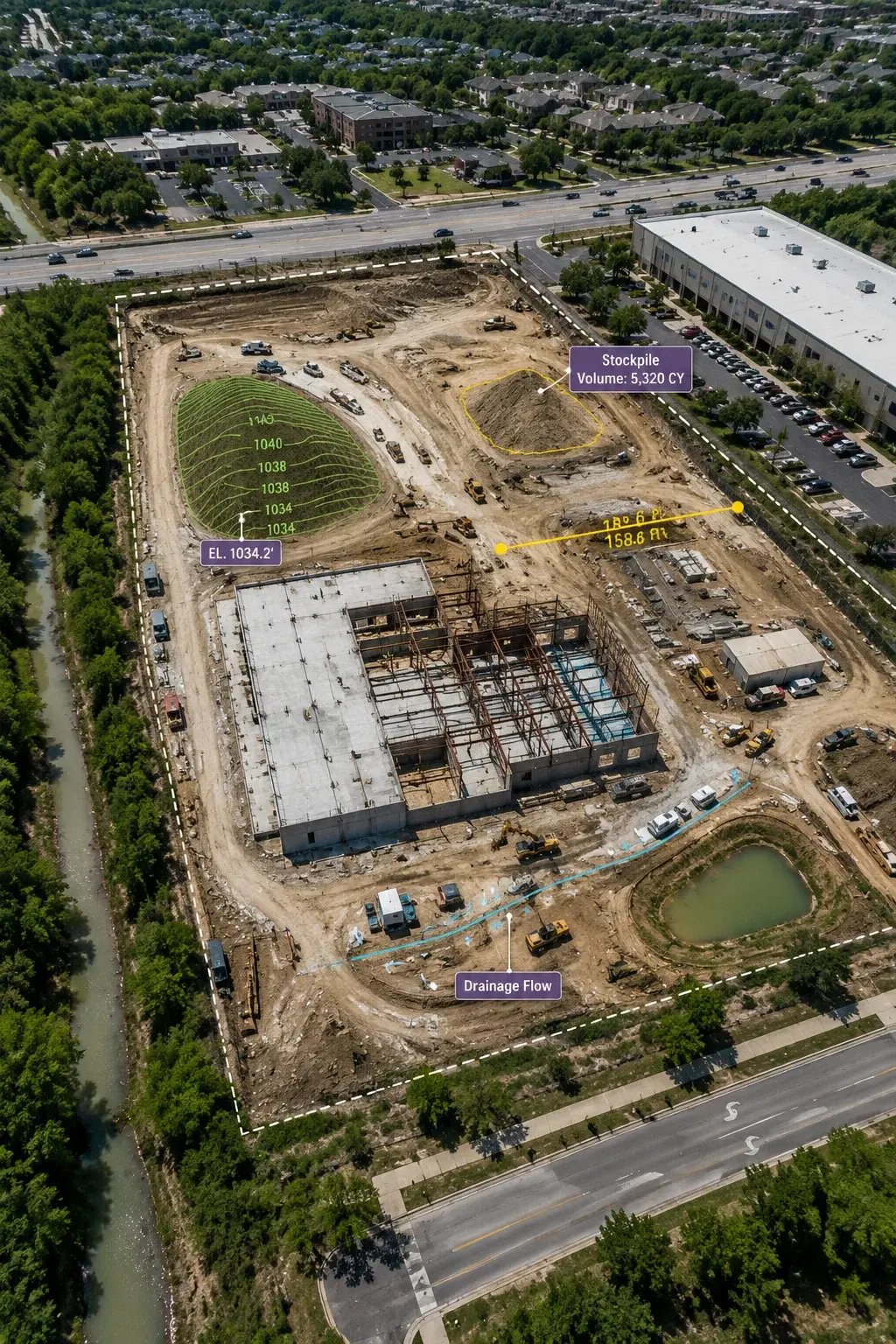
Aerial drone view of a construction site for mapping and site analysis

When Critical Information Matters

When Your Team Needs a Clearer, More Current View

When decisions depend on conditions that are changing, incomplete, or difficult to verify, a clearer view can reduce uncertainty. VertiMaps scopes the mapping workflow around the information your team needs to move forward with confidence. 
  • Site plans or imagery no longer reflect current conditions
  • Ground photographs show individual details but not how the whole site fits together
  • Stockpile, excavation, or material quantities need reliable measurement from current site data.
  • Surface areas, elevation changes, grading, or terrain conditions need to be quantified quickly and consistently.
  • Measurements taken by different people do not agree
  • A missing distance, area or quantity forces another field visit
  • Large properties take too long to review on foot
  • Remote stakeholders struggle to understand the site
  • Terrain, grading or drainage relationships are hard to visualize from the ground
  • Teams are working from different versions of site information
  • There is no reliable baseline for comparing future changes
  • Current conditions need to be shared with contractors, engineers or consultants
  • Existing drawings do not accurately represent what is on the ground today

The VertiMaps solution

One well-planned aerial capture can answer far more than one question.

VertiMaps designs each capture around what your team actually needs to understand—current conditions, measurements, terrain, quantities, remote review, or change over time. From flight geometry and photo overlap ratio to camera orientation, positioning, and processing, every step is planned around the information you need to use afterward. 


Understand Your Need

Start with the decision, uncertainty, or field condition your team needs to understand. 

Design the capture

Choose coverage, flight geometry, camera settings, and positioning around the intended result. 

Build the site record

Process the capture into the map, surface, model, or measurable output that best fits the need. 

Deliver it for use

Organize the outputs so your team can review, share, compare, measure, and act on them efficiently. 

Available Deliverables

Choose the deliverables that best support what you need to accomplish.

You do not need every output. VertiMaps recommends the combination that gives your team the clearest, most useful information for the way you plan to use it.

Source imagery and applicable raw mapping data can also be delivered alongside processed outputs for internal analysis, archiving or compatible downstream workflows. .
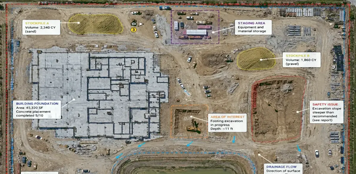
Annotated drone orthomosaic showing construction site measurements and conditions

Orthomosaic Map

A detailed, geometrically corrected overhead map assembled from overlapping aerial photographs, creating a current site-wide reference instead of isolated images. 
site overview

markup

measurements

documentation

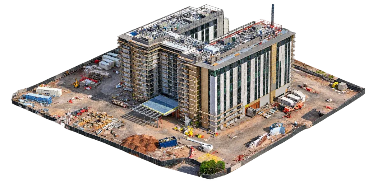
Photogrammetric 3D model of a commercial construction site

Textured 3D Site Model

A photogrammetric 3D model that preserves visible geometry and photographic texture, allowing the site, structure, or asset to be rotated and reviewed from multiple perspectives for remote review and visual documentation. 
remote review

context

presentation

planning

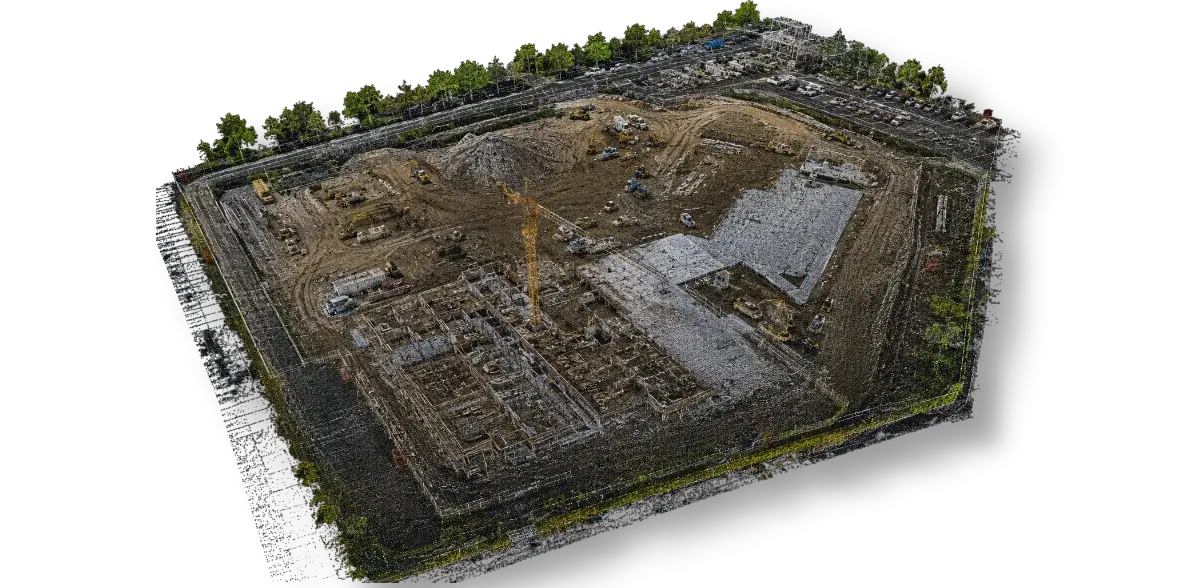
3D point cloud generated from aerial drone mapping data

Point Cloud

A dense collection of spatial points representing visible surfaces, suitable for compatible CAD, GIS, analysis, and future digital documentation workflows. 
technical workflow

surface data

3D context

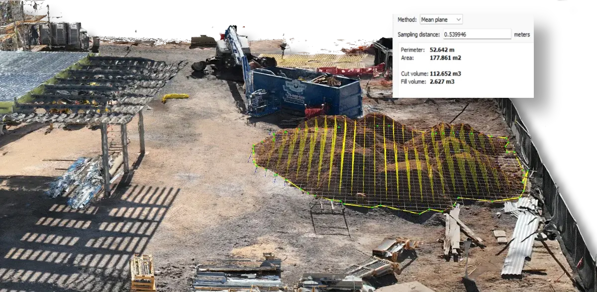
Drone mapping data used to calculate construction stockpile volume

Stockpile, Volume & Surface Measurements

Use current aerial data to measure stockpile volumes, excavation and fill quantities, surface areas, elevation differences, and repeat changes over time when capture and project conditions support the measurement. 
Stockpiles

cut/fill

surface area

change over time

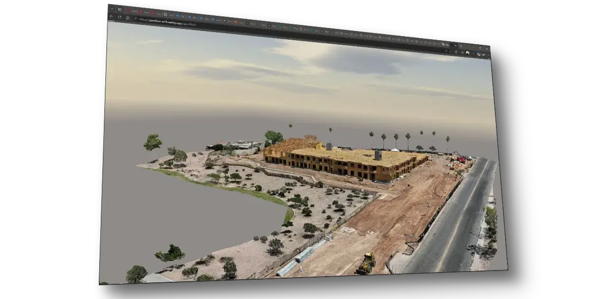
Interactive 3D site model displayed in a web-based viewer

Interactive Web Viewer

A browser-based viewer that makes compatible site imagery and 3D content easier to explore and share with remote stakeholders without specialized desktop software. 

sharing

remote review

stakeholder access

Common applications

Where Aerial Mapping Supports Better Decisions

Flexible enough for technical, operational, and documentation needs across a wide range of properties and projects. 

Construction & Sitework

Land Development

Earthwork & Materials

Property Management

Industrial Facilities

Engineering Support

Stockpile & Material Quantities

Drainage & Grading

 Important: Mapping accuracy and appropriate use depend on positioning, control, site geometry, surface characteristics and workflow. VertiMaps deliverables do not replace a legally required survey by a licensed land surveyor. 

Start with your objective

Tell us what you need to understand, document, inspect, measure or present.

You do not need to know which technical deliverable you need. Describe the project and the question you are trying to answer. 


No-obligation review: Submitting this form does not reserve a flight or commit you to a purchase