Understand and Plan for Future Needs
Identify which areas and assets need enough coverage to remain useful later.
.png?width=300&height=93&name=VertiMaps%20Logo%20Horizontal%20Slashed%20300x93%20(Aerial%20Green%20%26%20Black).png)
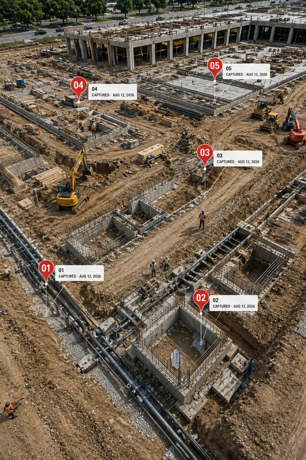
When Critical Information Matters
Available Deliverables
You do not need every output. VertiMaps recommends the combination that gives your team the clearest, most useful information for the way you plan to use it.
Source & Raw Data Access — Processed models can be accompanied by applicable source imagery and project data when your team needs the underlying files for archiving or compatible downstream use. .
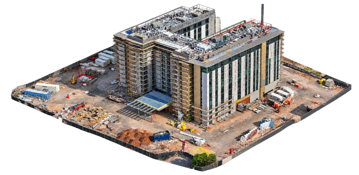
A photogrammetric 3D model that preserves visible geometry and photographic texture, allowing the site, structure, or asset to be rotated and reviewed from multiple perspectives for remote review and visual documentation.
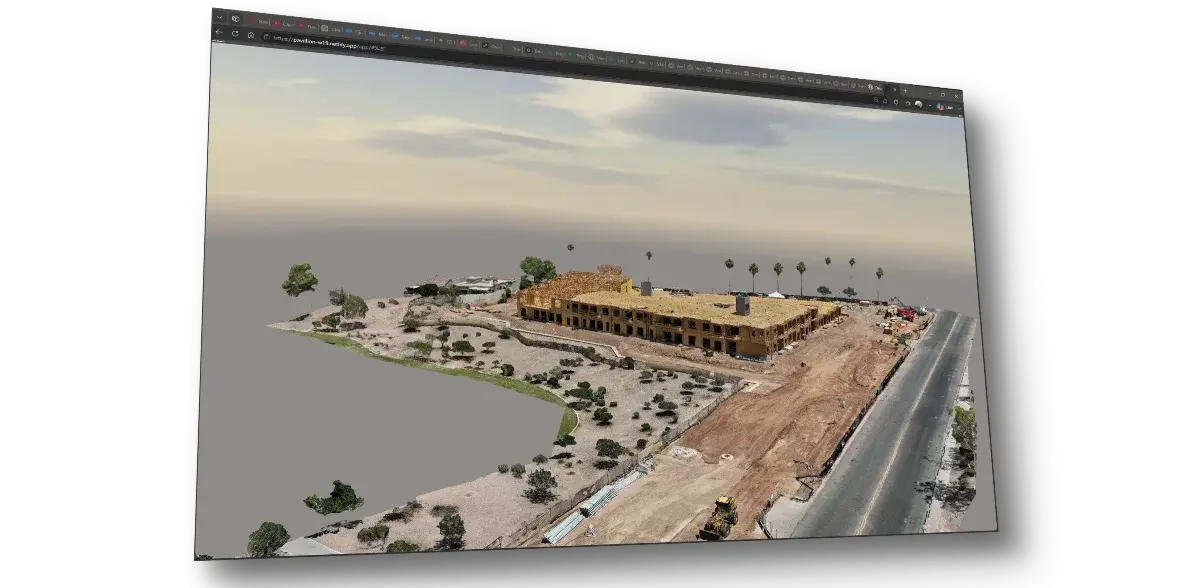
A browser-based viewer that makes compatible site imagery and 3D content easier to explore and share with remote stakeholders without specialized desktop software.
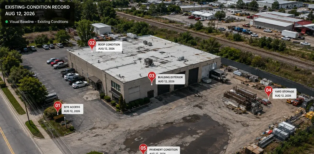
A dated visual baseline preserving visible property or project conditions before construction, repair, demolition, or another site-changing activity.
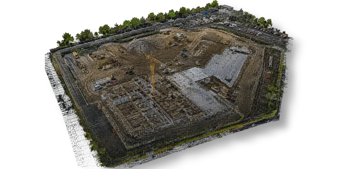
A dense collection of spatial points representing visible surfaces, suitable for compatible CAD, GIS, analysis, and future digital documentation workflows.