Damage & Incident Documentation

Damage Can Change Quickly-and the Original Condition May Be Impossible to Recreate Later

Storms, floods, fires, accidents, construction incidents, and emergency repairs can alter a property in hours. Decision-makers often need a broad visual record before cleanup or repairs change the scene.  


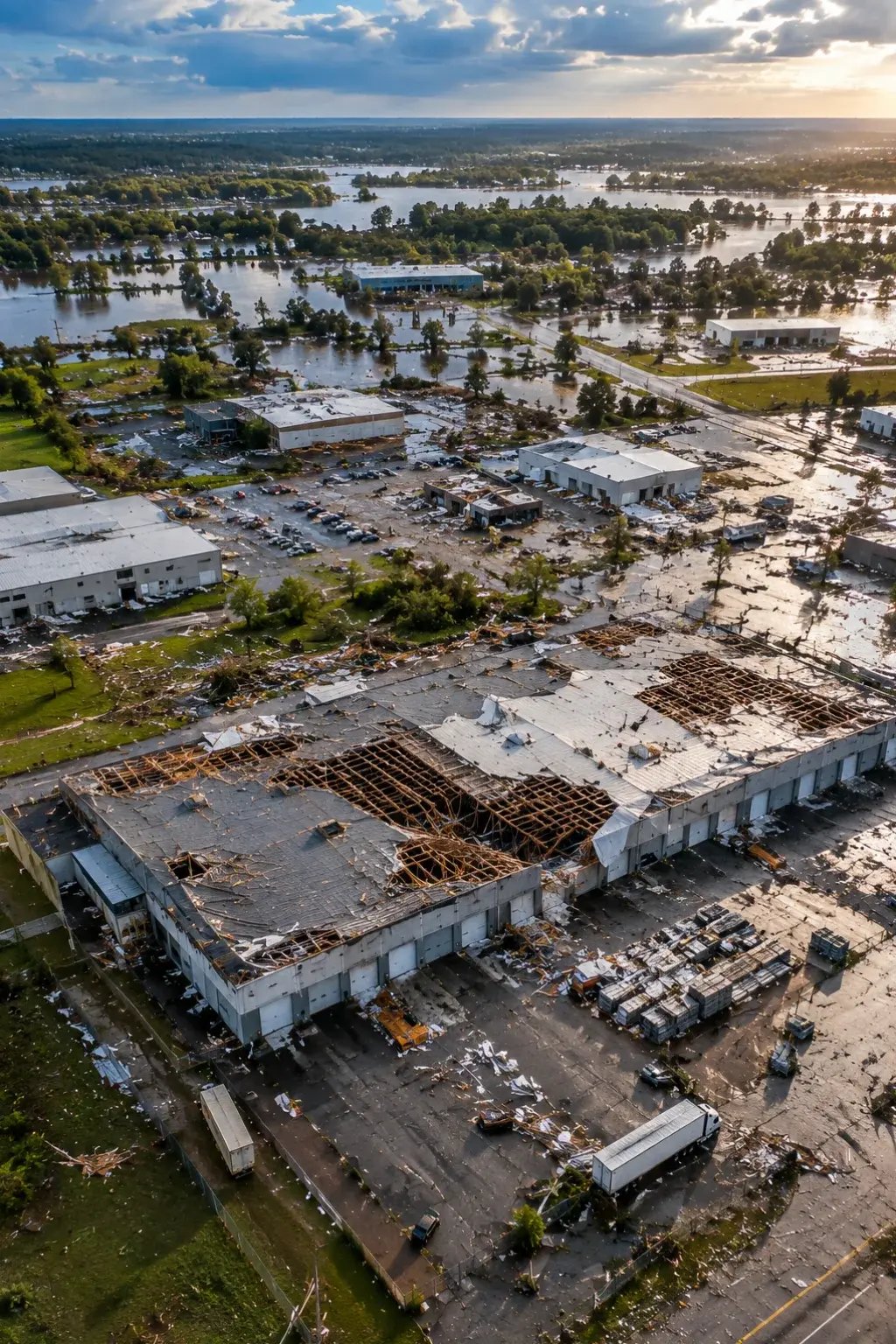
Aerial overview documenting property conditions after a damaging event

When Critical Information Matters

When Time-Sensitive Documentation Matters

After a storm, flood, fire, accident, or other incident, visible conditions can change quickly. A broad, dated visual record can preserve important context before cleanup or repairs alter the scene. 
  • Damage must be documented before cleanup begins
  • Ground-level photos do not show the full extent of the affected area
  • Unsafe areas are difficult to access directly
  • Pre-existing conditions need to be distinguished from recent visible damage
  • Owners, contractors, adjusters, and insurers need the same visual reference
  • A large property is difficult to document quickly from the ground
  • Response teams need an overview before entering the affected area
  • Conditions may change before stakeholders can visit
  • Repair work is beginning before documentation is complete
  • The affected area needs to be prioritized quickly
  • There is no visual baseline for comparison
  • Multiple parties need current imagery at the same time

The VertiMaps solution

Document the Condition While It Is Still Visible

VertiMaps can capture broad aerial context and detailed exterior imagery soon after an incident so stakeholders can review visible conditions, organize follow-up, and preserve a clearer record of what was present. 


Define the immediate documentation need

Identify the affected areas, visible damage, and information stakeholders need first. 

Capture current conditions promptly

Document broad context and relevant exterior detail before cleanup or repairs change the scene. 

Organize the incident record

Structure imagery by area, date, or issue so it is easier to review and share. 

Support follow-up comparison

Use repeat capture when appropriate to document repair, recovery, or subsequent change. 

Available Deliverables

Choose the deliverables that best support what you need to accomplish.

Choose the documentation outputs that best support your response, review, comparison, claims, or repair-verification needs.

Retain the source record — Applicable original imagery and project data can be provided alongside processed deliverables, helping preserve the underlying visual record of conditions captured at the time. 
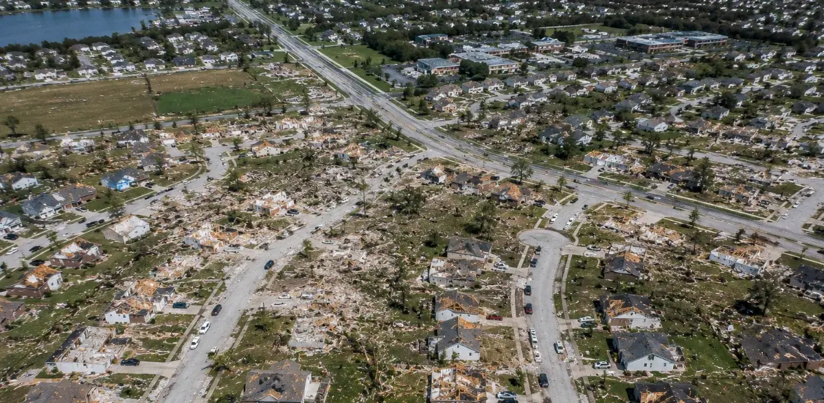
Aerial drone view showing widespread storm damage across a residential area

Incident Overview Imagery

Broad aerial views showing the extent and context of visible damage. 
incident context

affected area

rapid overview

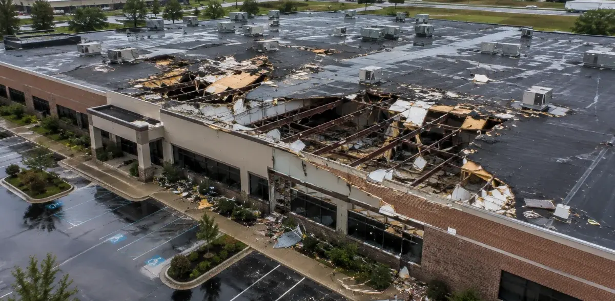
Aerial drone imagery documenting commercial building damage before repairs

Dated Condition Record

Time-specific imagery preserving visible conditions before repairs or cleanup. 

time-specific record

pre-cleanup

documentation

Common applications

Where Damage Documentation Supports Better Decisions

A time-sensitive visual record for situations where current conditions, broad context, and documented change matter. 

Storm Damage

Flooding

Fire Aftermath

Construction Incidents

Insurance Documentation

Emergency Response

Property Claims

Repair Verification

Important: VertiMaps documents visible conditions. It does not determine causation, structural integrity, insurance coverage, legal liability, or repair scope. 

Start with your objective

Tell us what you need to understand, document, inspect, measure or present.

You do not need to know which technical deliverable you need. Describe the project and the question you are trying to answer. 


No-obligation review: Submitting this form does not reserve a flight or commit you to a purchase