Define the Objective
What does your team need to see, prove, measure, monitor or communicate?
Drone mapping • Photogrammetry • Arizona
Understand More.
Present Better.
Decide With Confidence.
VertiMaps turns aerial capture into useful site information for teams that need to understand current conditions, document change, inspect difficult areas, measure site features or present a property clearly.
CURRENT SITE VISIBILITY
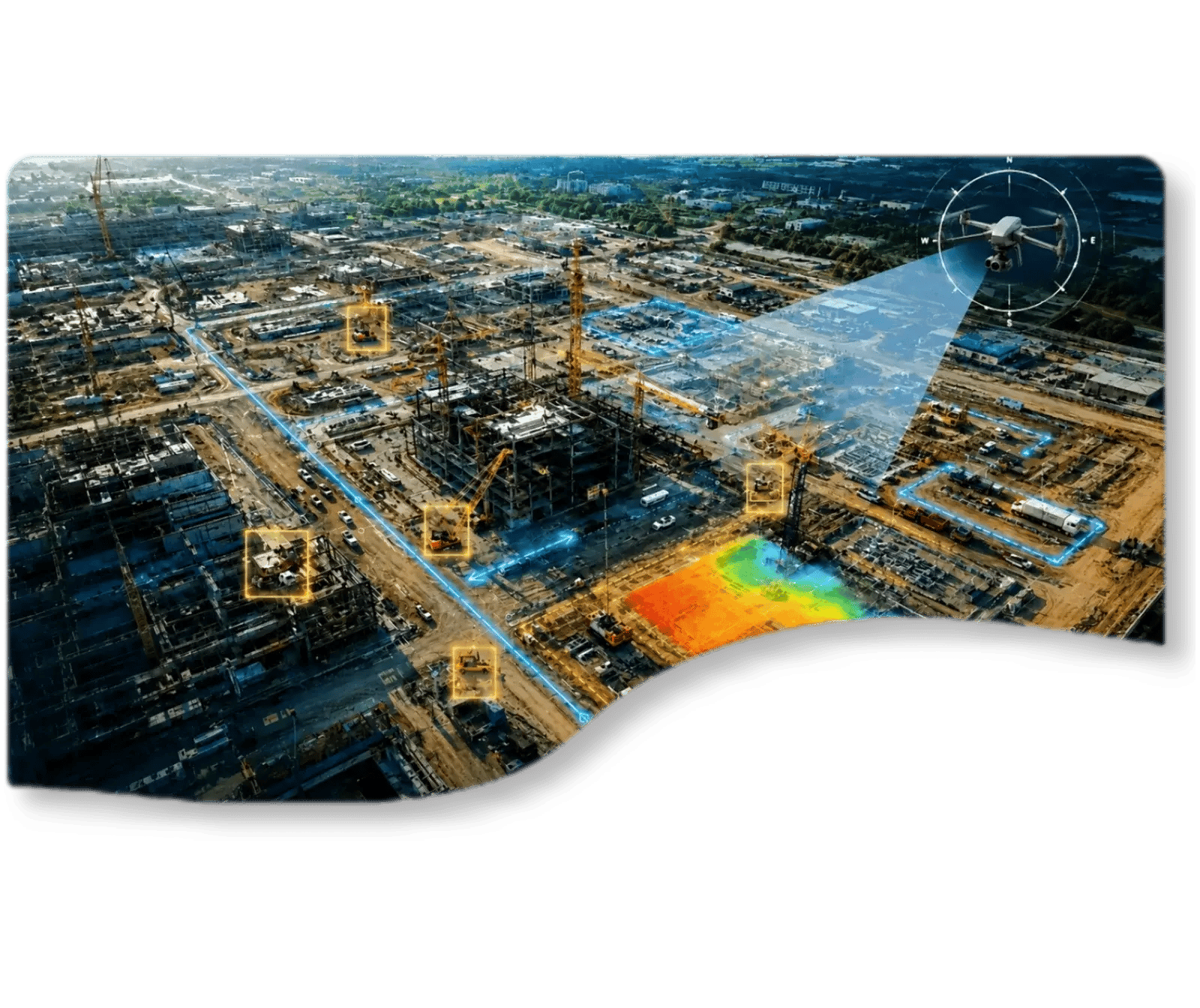
See What Is Actually Happening Across Your Site
Plans become outdated, ground photographs only show part of the picture, and remote stakeholders may not know what conditions really look like today. Get a current visual record that helps everyone understand the entire site.
MISSING DETAILS & REVISITS
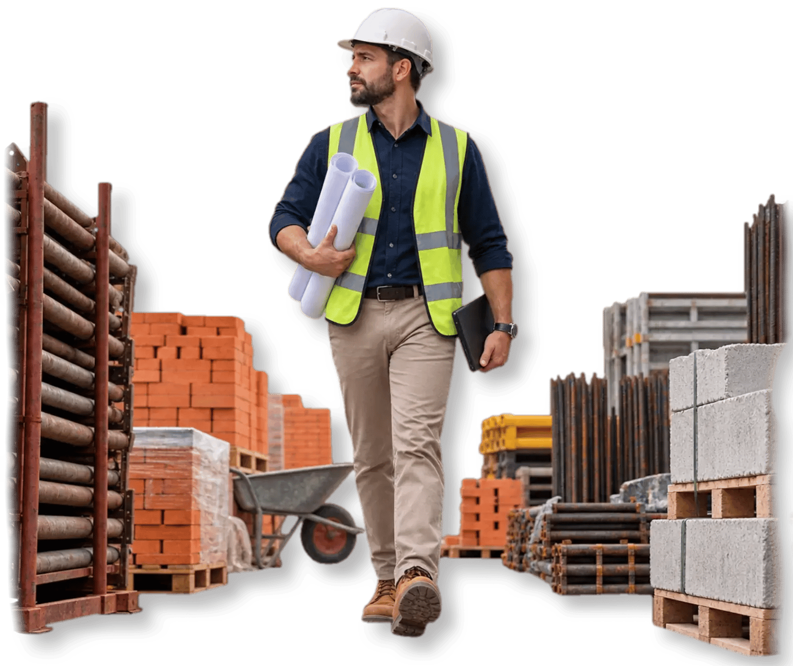
Stop Returning to the Site for One Missing Detail
A forgotten photograph, measurement, or site detail should not automatically trigger another drive across town. Build a more complete digital site record so your team can answer more questions remotely.
CONSTRUCTION PROGRESS
Stop Wondering What
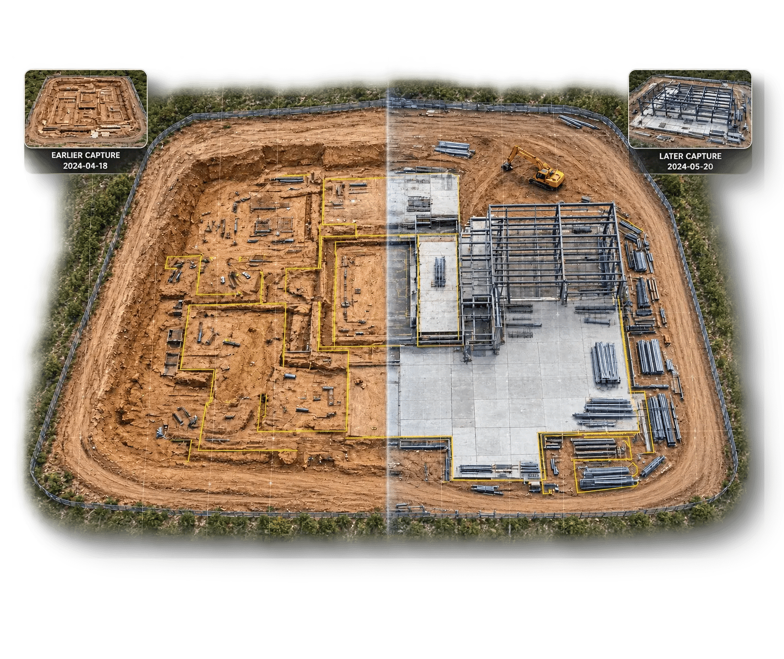
Changed Between Site Visits
Consistent aerial captures make it easier to compare progress, document milestones, verify visible work and give owners and remote teams a clearer picture of what is happening
SAFETY & DIFFICULT ACCESS
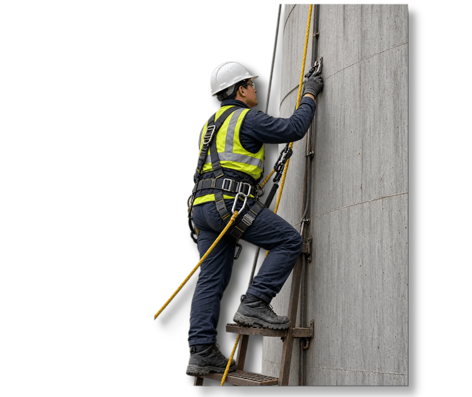
Inspect Difficult Areas
& Assets Without
Unnecessary Risk
Get detailed visual access to roofs, façades, elevated structures and antennas, and other hard-to-reach areas before committing personnel, lifts, scaffolding or specialized access equipment.
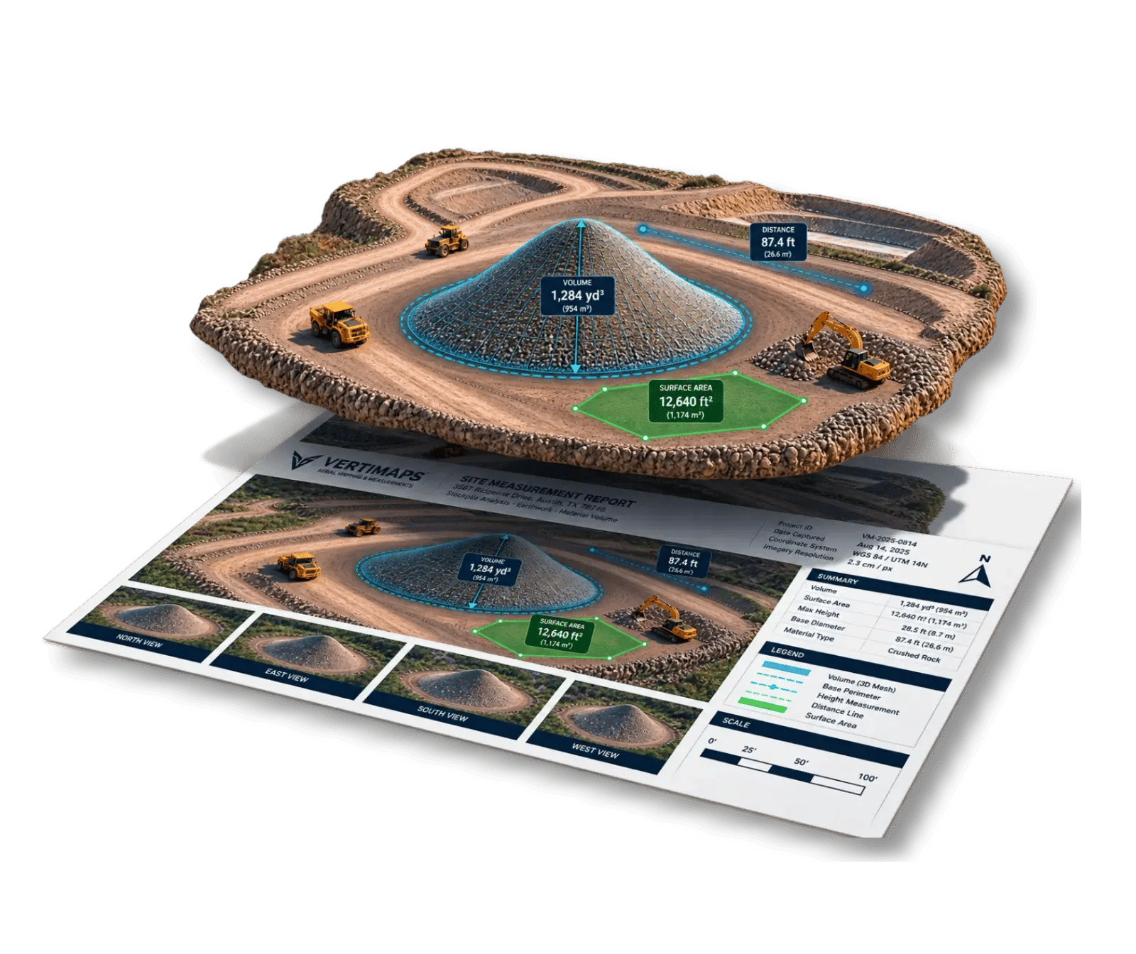
MEASUREMENTS & QUANTITIES
Replace Estimate with Measurable Site Data
A forgotten photograph, measurement, or site detail should not automatically trigger another drive across town. Build a more complete digital site record so your team can answer more questions remotely
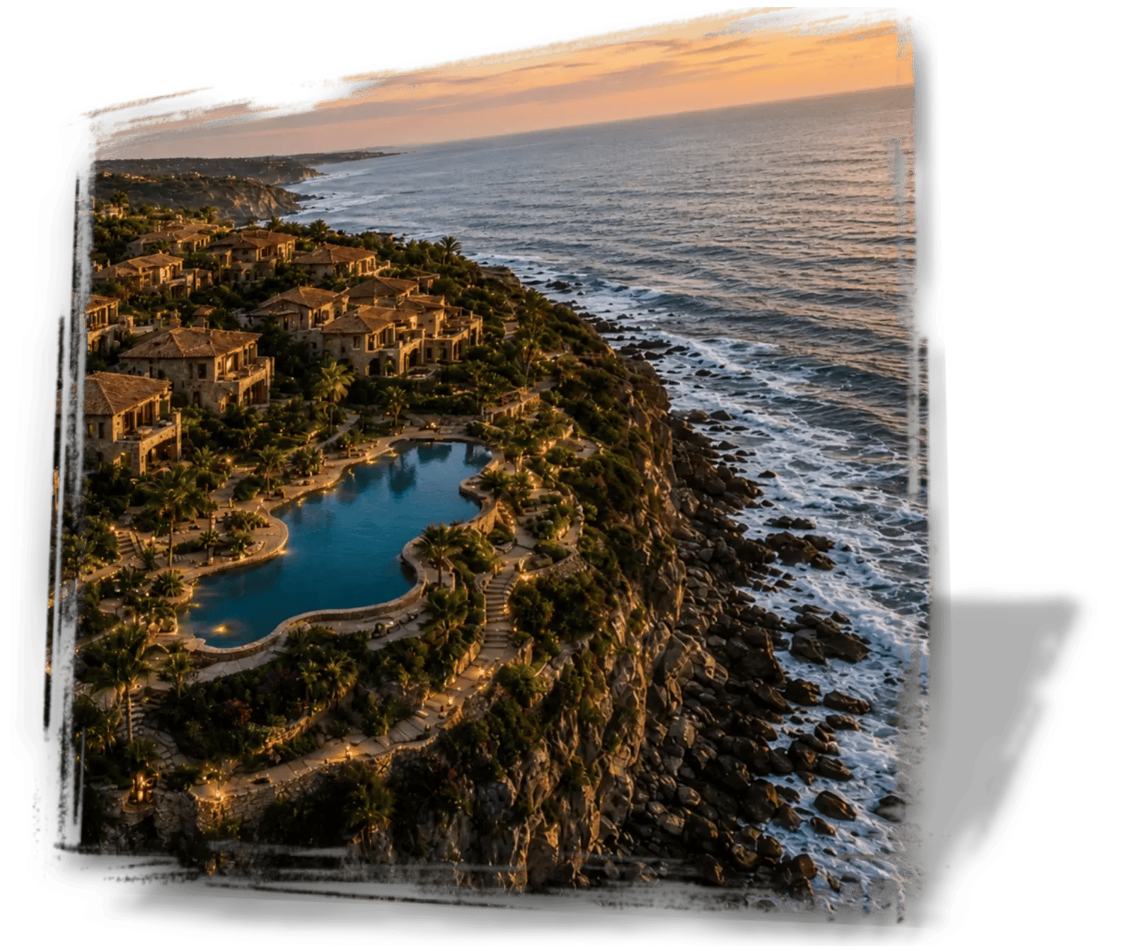
PRESENTATION & MARKETING
Show the Full Story of
Your Property or Project
Help clients, owners, investors and stakeholders understand scale, layout, surroundings, progress and value using professional aerial photography and video.
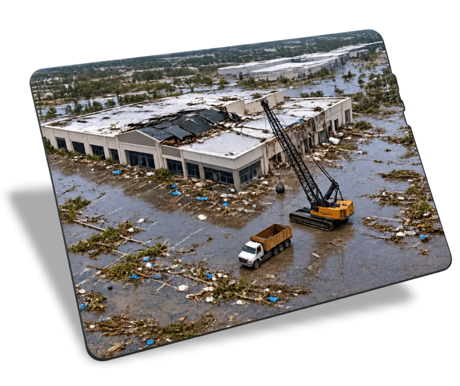
PROJECT DOCUMENTATION
Document Today's Conditions
Before They Change
Create an organized visual record before construction, excavation, repair, demolition, or another site-changing activity begins. Preserve visible existing conditions, completed work, and important milestones for future reference.
PURPOSE BUILT CAPTURE
What does your team need to see, prove, measure, monitor or communicate?
Design the capture
Flight and camera settings are selected around the intended output.
Capture & process
The site is captured under suitable access, airspace, weather and safety conditions.
Deliver useful information
Receive organized outputs with the context and limitations needed to use them correctly. Source imagery and applicable raw project data can also be provided when required.
BUILT FOR REAL OPERATIONS
Frequently asked
Often, yes. Mapping, visual documentation and measurement requirements can sometimes share one capture plan when coverage and accuracy requirements are compatible.
No. VertiMaps mapping products do not replace work that must legally be performed or sealed by a licensed land surveyor.
Accuracy depends on aircraft positioning, control, site conditions, mission design and processing workflow. We define the intended use before recommending a capture method.
Depending on the project, outputs can include orthomosaics, 3D models, point clouds, surface models, volume analysis, progress imagery, inspection photos, reports and web-ready visuals. Source imagery and applicable raw project data can also be provided for your records or downstream workflows.
No. Tell us what decision you are trying to make or what you need to document, and VertiMaps can recommend the most appropriate outputs.
Yes. Repeat captures can be scheduled weekly, monthly, at milestones or at another agreed cadence depending on the project.
Yes, for aerial visual documentation. VertiMaps can capture hard-to-access exterior areas for review, but specialized diagnosis should still be made by the appropriate qualified professional when required.
Appropriately captured mapping data can support repeatable volume analysis for stockpiles, excavation and fill where site geometry and workflow are suitable.
Weather, airspace restrictions, site access, temporary flight restrictions, people, traffic, obstructions and safety conditions can all affect scheduling.
Yes. Many deliverables can be shared digitally, and selected imagery or compatible 3D content can be prepared for browser-friendly review.
Timing depends on scope, location, airspace, site access and weather. Once the project details are known, VertiMaps can provide a realistic schedule.
VertiMaps is based in the Phoenix–Scottsdale area and serves projects throughout Arizona. Travel outside the core area can be quoted.
Start with the project
No-obligation review: Submitting this form does not reserve a flight or commit you to a purchase