Aerial Inspections

You Should Not Have to Put Someone at Risk Just to See What Is There

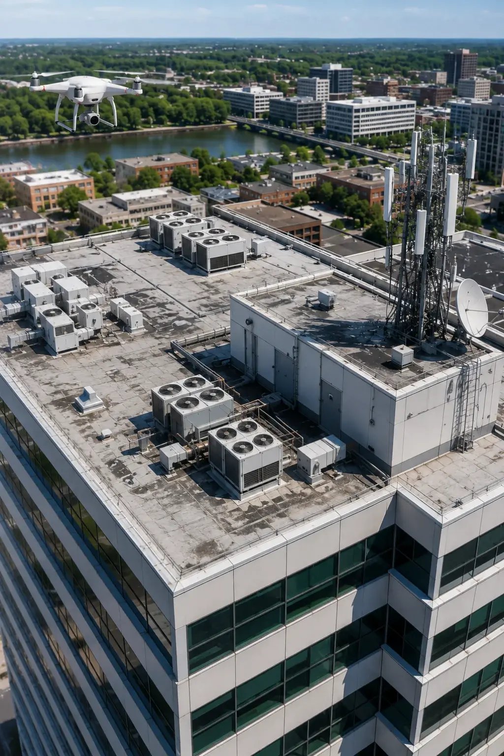
Roofs, upper façades, towers, steep surfaces and active work areas can be difficult or unsafe to access. Traditional visual checks may require ladders, lifts, shutdowns or unnecessary exposure before the condition is even understood 

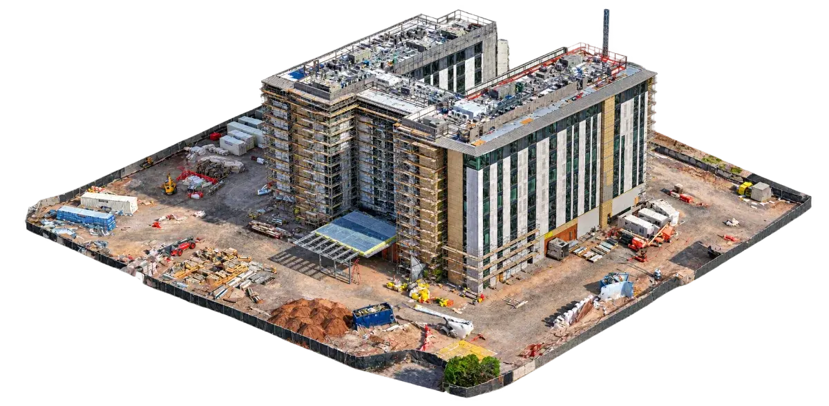
Aerial drone view of an active construction project in Arizona

When Critical Information Matters

When Clear Visual Access Matters

When roofs, façades, elevated structures, antennas, or other difficult areas are hard to review safely and efficiently, aerial inspection can provide the visual context needed before committing to more intrusive access. 
  • Personnel are climbing roofs or elevated structures for preliminary visual checks
  • Lifts, scaffolding or rope access may be needed before the extent of a problem is understood
  • Upper façades cannot be reviewed clearly from the ground
  • Large roofs take too long to walk and photograph
  • A structure may be unsafe to enter or access directly
  • Operations would be disrupted by traditional inspection access
  • Ground-level photographs miss roof surfaces or elevated details
  • Storm or exterior damage must be documented before repairs begin
  • Maintenance teams need to know which areas require closer specialist review
  • Inspection photographs lack location context
  • Multiple exterior elevations need systematic coverage
  • Hard-to-reach assets need repeatable condition documentation

The VertiMaps solution

Get the Visual Information First

VertiMaps captures systematic aerial imagery of difficult-to-access exterior areas so your team can review visible conditions, identify areas that deserve closer attention, and plan follow-up access more efficiently.  


Understand and Define Your Asset Inspection Requirements

Identify the structure, surfaces and visual detail the reviewer needs.  

Plan safe viewpoints

Choose stand-off distance, camera angle, lens use and flight path around obstacles and operations. 

Capture Context and Detail

Collect overview images together with systematic closer views. 

Organize for review

Deliver images by area, elevation or asset so the record is easier to interpret.  

Available Deliverables

Choose the deliverables that best support what you need to accomplish.

You do not need every output. VertiMaps recommends the combination that gives your team the clearest, most useful information for the way you plan to use it.

Source files available — In addition to organized inspection imagery and review-ready outputs, applicable original imagery can be provided for your internal records or further review. 
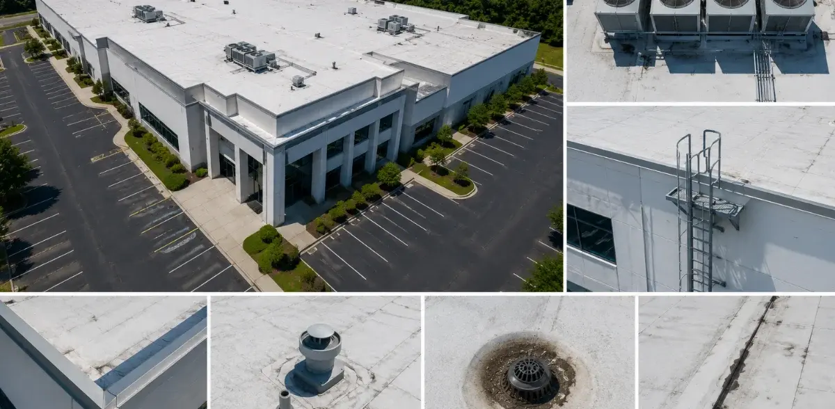
High-resolution drone inspection imagery of a commercial property

High-Resolution Inspection Imagery

Detailed exterior photographs captured from planned angles and safe stand-off distances. 

roofs

façades

measurements

assets

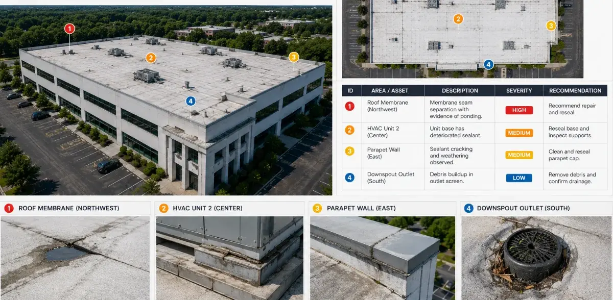
Annotated aerial inspection report of a commercial property

Annotated Visual Report

Selected images labeled by area, asset, or visible concern to make review, discussion, and follow-up easier. 
maintenance

contractors

follow-up

Photogrammetric 3D model of a commercial construction site

Textured 3D Site Model

A photogrammetric 3D model that preserves visible geometry and photographic texture, allowing the site, structure, or asset to be rotated and reviewed from multiple perspectives for remote review and visual documentation. 

remote review

asset context

planning

Common applications

Where Aerial Inspection Supports Better Decisions

A practical visual-access option for properties and assets where safety, access, coverage, and documentation matter. 

Commercial Roofs

Building Façades

Industrial Facilities

Towers & Silos

Solar Arrays

Storm Documentation

Exterior Assets

Maintenance Planning

Important: VertiMaps provides aerial visual documentation. It does not replace structural engineering, roofing diagnosis, code inspection, NDT or other specialized professional determinations when those services are required. 

Start with your objective

Tell us what you need to understand, document, inspect, measure or present.

You do not need to know which technical deliverable you need. Describe the project and the question you are trying to answer. 


No-obligation review: Submitting this form does not reserve a flight or commit you to a purchase